Bonaparte, Van Buren, Iowa
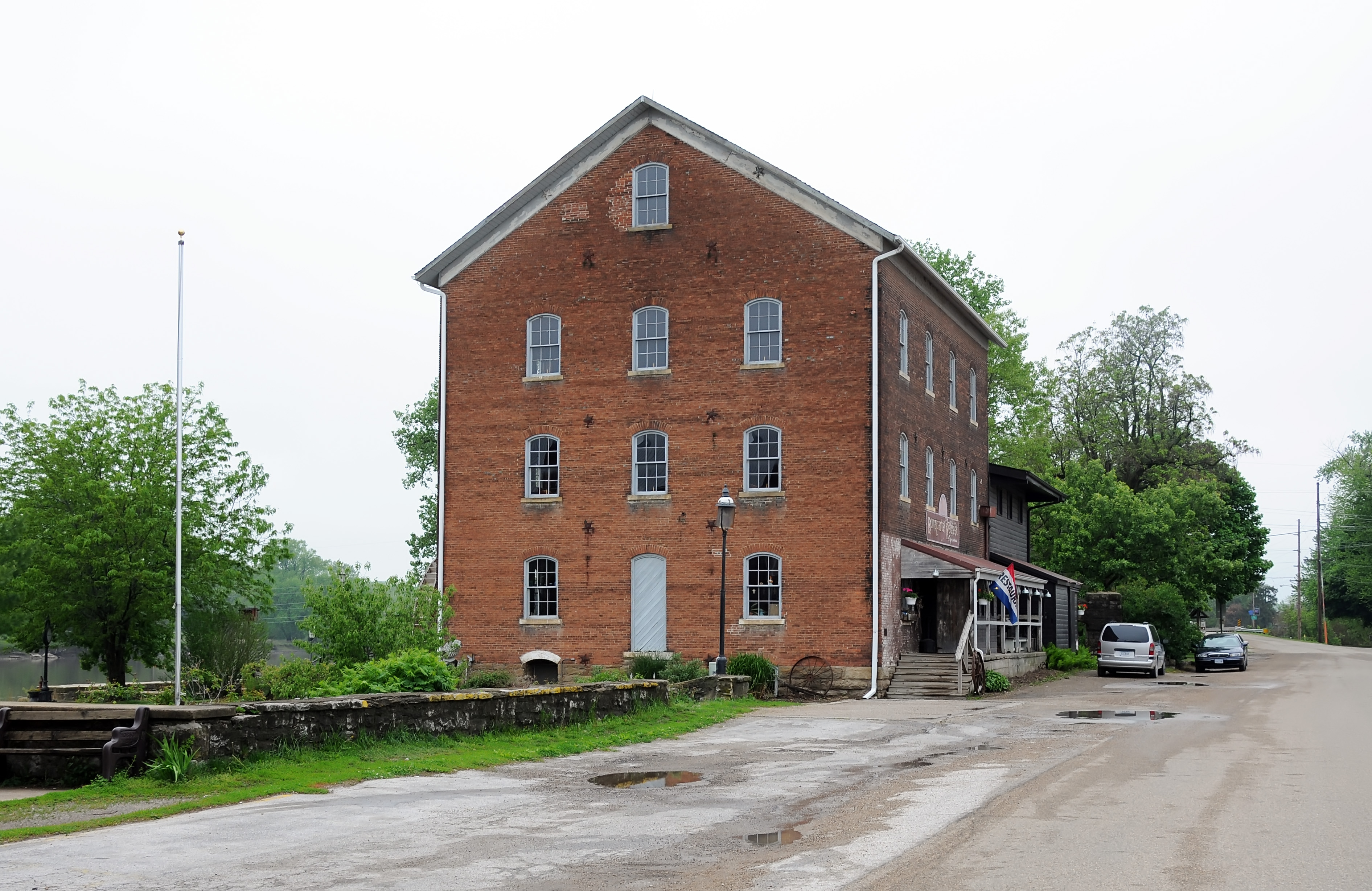
Located along the Mormon Pioneer Trail in southern Iowa, the town of Bonaparte has historic ties to the story of the Mormon exodus west.
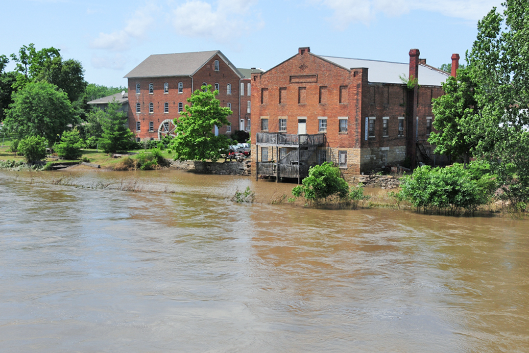
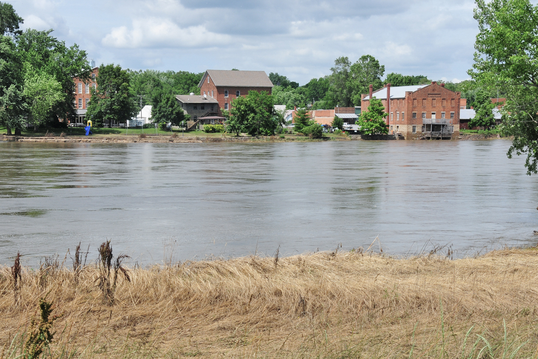
The first wave of Latter-day Saints left Nauvoo for the west in early 1846. During the first week of March they reached the community of Bonaparte or Bonaparte Mills, Iowa. It is there that the Des Moines River flows southeast toward the Mississippi. On March 5th Brigham Young and the Camp of Israel forded the Des Moines River at Bonaparte as they headed west.
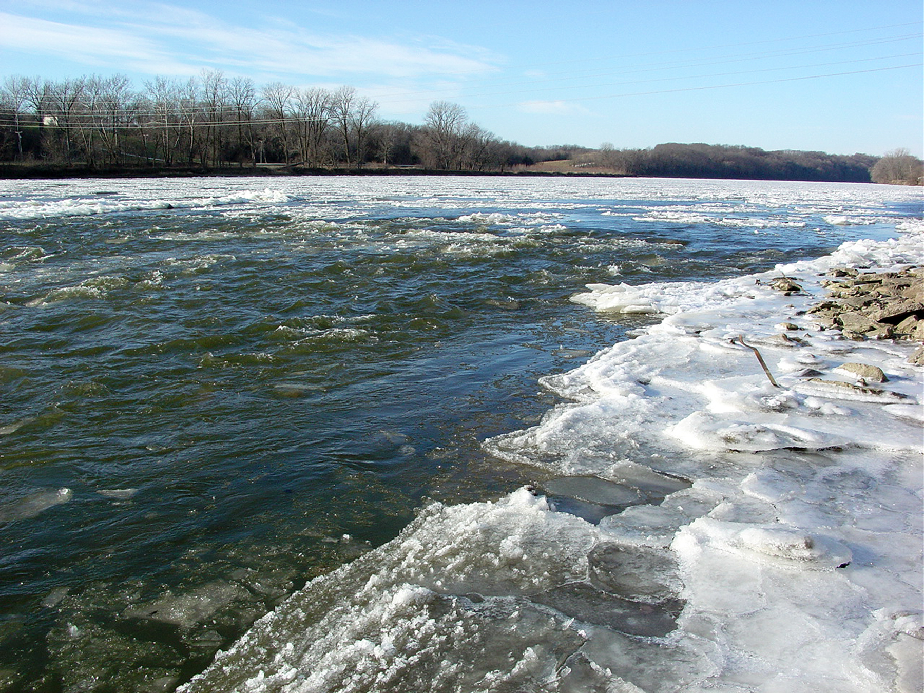
The river is about two feet deep with a rocky bottom. As Eliza R. Snow rode across in a wagon, she drew some water from the river to drink and noted that it was “a very refreshing draught.” The Saints found muddy roads on the opposite side. A number of Latter-day Saints found employment at Bonaparte.
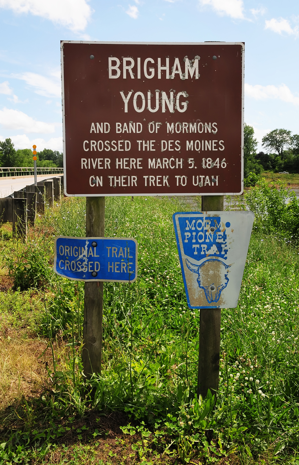
Presently, Bonaparte has between 400-500 residents. The Bonaparte Historic Riverfront District was named to the National Register of Historic Places in 1989. The sign seen at the left notes that Bonaparte is the place where Brigham Young and the Saints decided to ford the Des Moines River. The text that reads “and band of Mormons” is humorous to many. An interpretive panel in nearby Riverview Park gives information with regard to the Mormons passing through in 1846. The park is located on Route J40 on the bank of the Des Moines River. The river flows southeast to its confluence with the Mississippi near Keokuk, IA.
Map & Directions
Beginning at Fort Madison, IA on the Mississippi River, follow SR 2 west for about twenty-five miles. The center of Bonaparte is located at the intersection of County Road W40 and Route J40 about a mile and a half north of Highway 2. The town is situated on the north side of the Des Moines River. GPS coordinates are: 40°41’52.80″ N; 91°48’11.04″ W.
Photos
Articles & Resources
Sources
William G. Hartley and A. Gary Anderson, in LaMar C. Berrett, ed., Sacred Places, Vol. 6, Iowa and Nebraska, 41-43.