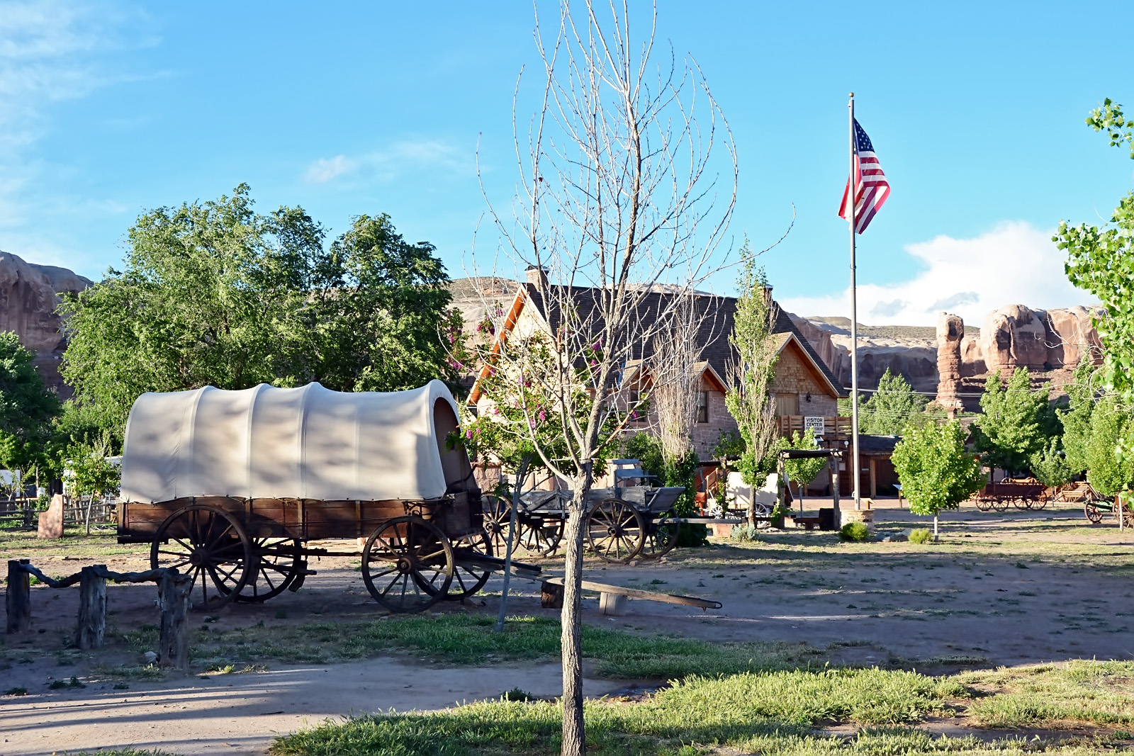
Bluff Fort, Bluff, San Juan County, Utah
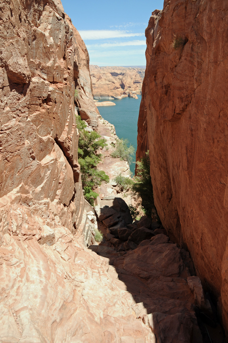
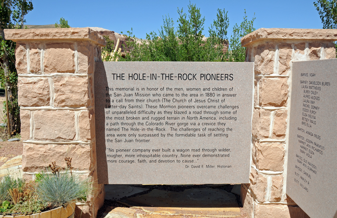
One of the truly remarkable stories of the settling of the American West is that of the “Hole-in-the-Rock” pioneers. These stalwarts were Mormon faithful called by their Church leaders to move from regions such as Iron County, Utah to settle what is now San Juan County in the extreme southeast area of the state. They traveled some two hundred fifty miles through territory that was extremely rugged and inhospitable. The journey required that they cross the deep Colorado River basin with its steep and rocky cliffs. This they did by carving and blasting a natural cleft in the rock down to the river, descended through a rocky crevice to the Colorado River below (now Lake Powell). The 1,300 foot descent approaching 45 degrees could only be accomplished after widening the upper section with blasting powder, chiseling off high points in the dugway, creating anchor points directly into the sandstone for large ropes to hold back the wagons, and with pick and shovel building up a road bed at key points. After crossing to the east side of the Colorado, the hardships continued.
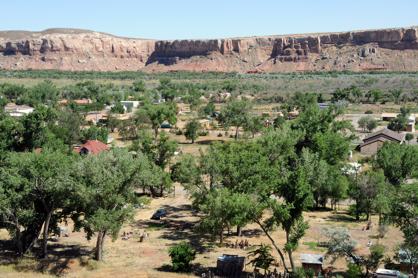
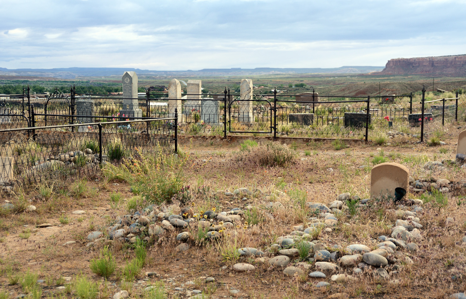
In 1880, following six months of carving trails in the rocky terrain during the cold of winter, these pioneers began a new settlement near the San Juan River in a harsh and hostile environment. They named the settlement Bluff.

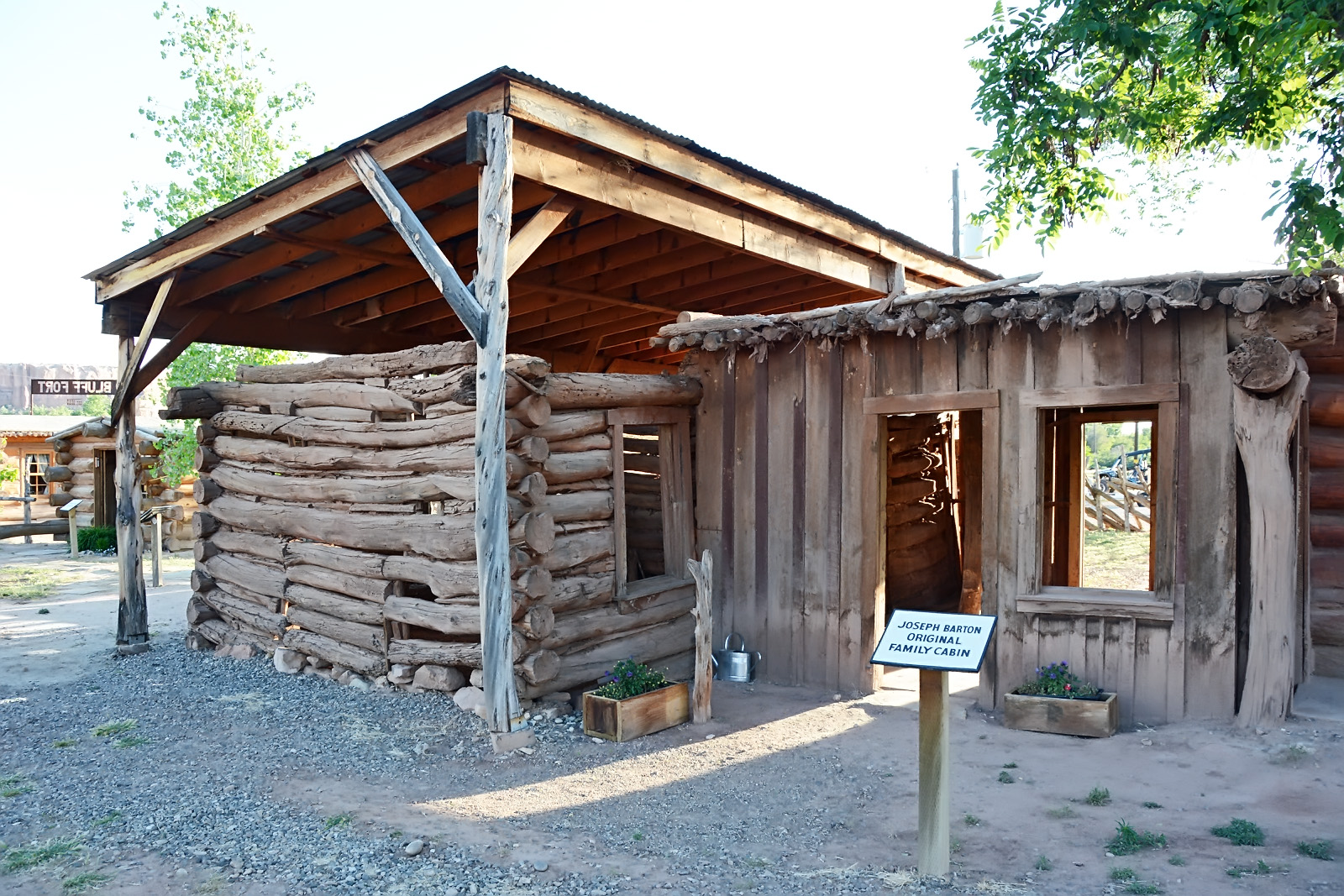
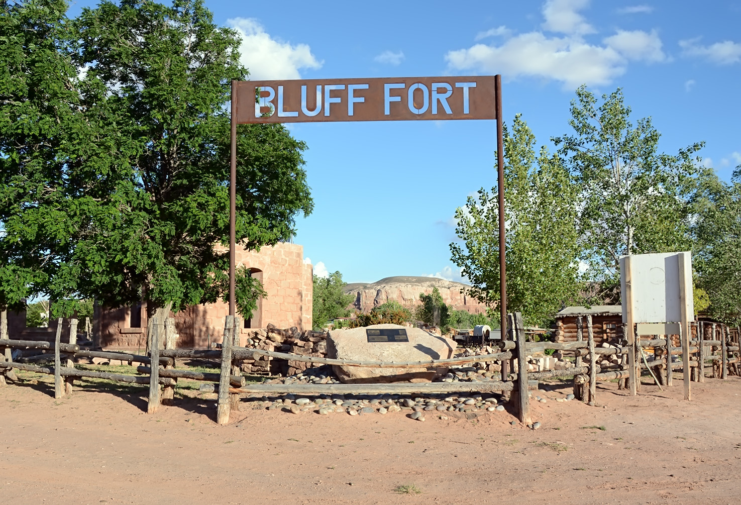
The settlers organized themselves into a fort made of cabins facing inwards. Most of the original settlement has disappeared, but through the efforts of the Hole-in-the-Rock Foundation (HIRF), a marvelous recreation of Bluff Fort has been constructed as a monument to the original. The HIRF was organized to facilitate the ongoing development of the Bluff Fort Historic Site and interpretive projects throughout the Hole-in-the-Rock Trail.
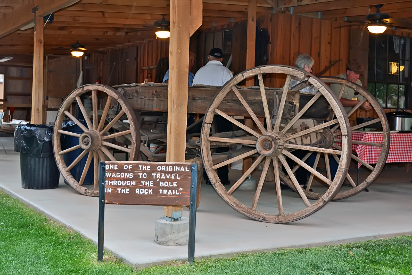
Preserved within the new fort is an original cabin along with a wagon and other artifacts that actually made the journey with or were used by the Hole in the Rock Saints.
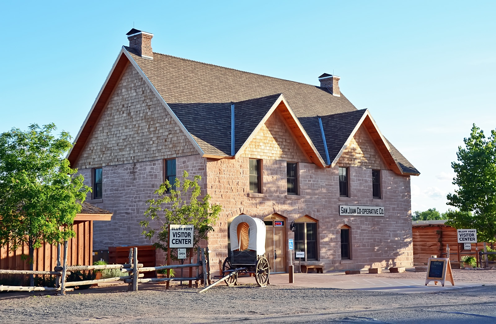
The original settlers had a Co-op store and trading post which opened in 1882. Recently, a replica of the original Co-op building has been erected. It also serves as a visitor center and store. Admission is free but donations are appreciated.
Source: Miller, David E., Hole in the Rock.
Hole in the Rock Foundation website: http://www.hirf.org.
Map & Directions
Bluff is a small town in southeastern Utah. It is about 100 miles south of Moab near the four-corners region of the state. Highway 191 passes through and becomes Main Street in Bluff. It passes next to the southern side of Bluff Fort. The Co-op/visitor center in on the north side of the fort. The gps coordinates are: 37°17’03.34″ N; 109°33’09.52″ W.
Photos